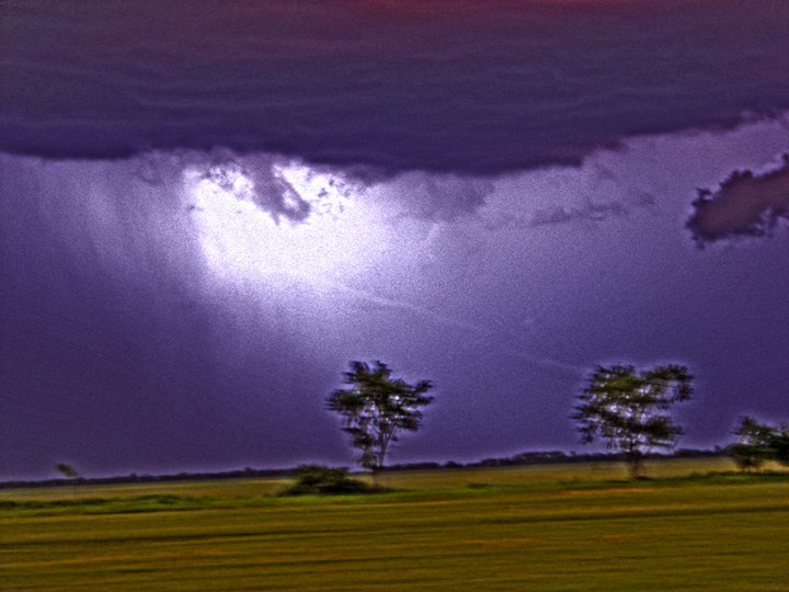
Lightning washed out the image so I basically inverted it. You can see the tornado basically going up into the eye of god (lightning flash)
I wasn’t expecting much when I went out chasing today. There was plenty of instability but the wind shear was marginal for tornadoes. I figured there hasn’t been much of any Run DMC up in the northern plains this year and I had forgotten what towering cumulus and back-sheared anvils looked like.
I usually bring my laptop along and plug in GpsGate to work with GRlevel3 radar. Today I figured I’d try to go about chasing the old fashioned way, going out and looking at the clouds without the aid of laptop and GPS (yes, this happened only some 10 years ago although it sounds like something before the Declaration of Independence was signed). Okay, so maybe it wasn’t completely old fashioned as I had GR3 uploading to my website and if I needed it in a pinch, I could use the mobile browser on my cell phone.
Anyways, I was up near the Canadian border to start the day given the extreme instability and supercells in Canada already rolling. I was following the first tornado warned storm near Cavalier where I saw a brief wall cloud but nothing special.
I ended up meandering to the south and east with the line of convection and thought about calling it a day north of East Grand Forks. Then I decided to look at the radar on my mobile browser (cheated) and saw there were numerous boundaries floating around the area with some stronger storms to the east. I’m a boundary interaction nerd and figured with the instability present, and updrafts erupting around me, it was my best chance of seeing a tornado all day long. I followed a storm towards Crookston and it soon had a radar indicated tornado warning on it. I could see the wall cloud and it was rotating pretty good, as far as I could tell from a distance anyways. I never saw a funnel out of that storm but continued with the western edge of the southeast propagating line of storms as more tornado warnings were being issued for them.
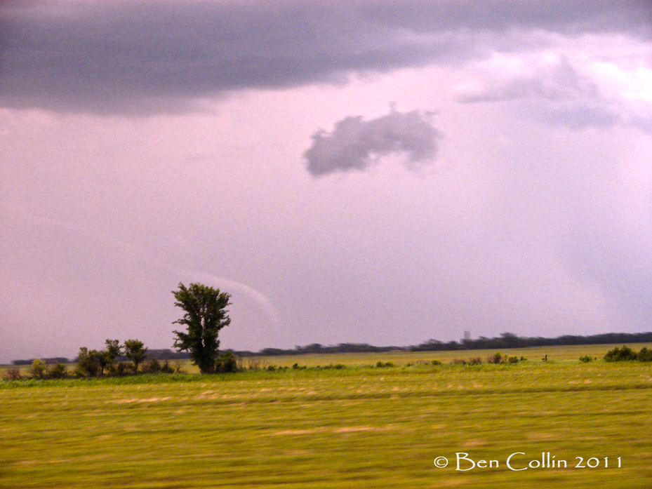
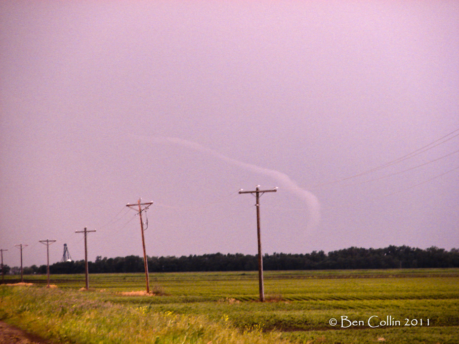
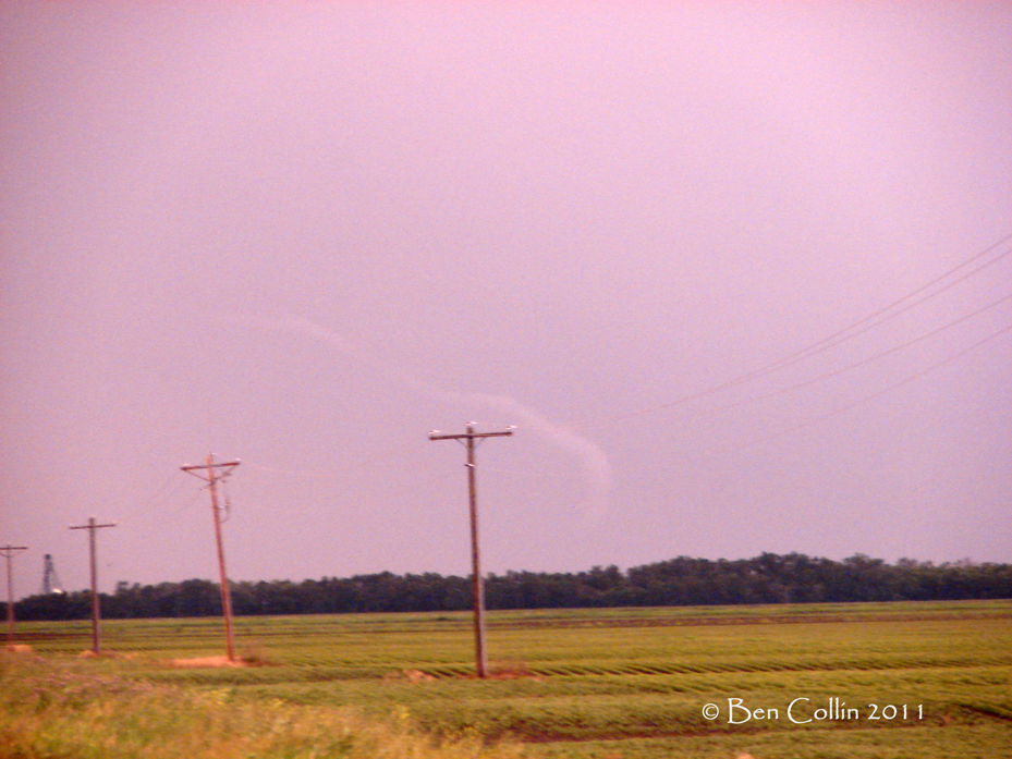
I ended up down by Halstad, MN and took 200 into ND as it was approaching 9-9:30 and light was becoming an issue. As I was traveling on 200 in ND, I looked to my south and suddenly saw an elephant trunk funnel to my south and west. I snapped a few pictures after I called in the tornado report to the NWS, but I was driving and couldn’t find a place to pullover until the end of the tornadoes brief lifespan. I wasn’t sure if it was a tornado (contact with the ground) or not given trees but a tornado was later confirmed by a spotter 2 miles west of Grandin (in an open field thankfully).
The images below didn’t come out that great because of the lighting, distance, and some rain falling. I tweaked them a little bit to show the length of the funnel extending to the upper left corner of the pictures. I couldn’t see the wall cloud with it but it was probably rain-wrapped. Again, the pictures don’t really do it justice as it was a site to see with it’s elongated funnel and kinked shape near the bottom as the storms cool outflow helped dislodge the funnel from being just vertical.
It was certainly a grind of a day but payed off in the end. I wish I would have gotten closer but in the end, I can’t complain.
So far my co-pilot Willie (my yellow lab) is 1/2 chasing in 2011. Not so bad.
Oh, and I’m never NOT bringing my laptop again.


